Eastport, Maine
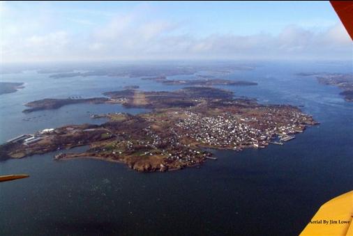
If you've never visited downeast Maine, you've never really been in the state. It is truly a unique place, encompassing the forest and the coastline. Starting at Bar Harbor and running east to the Canadian Border, the real downeast Maine is a place devoid of pretensions, a place where reality rules. Eastport is located on Moose Island which is surrounded by Passamaquddy Bay to the east, which contains the boundary line with Canada, and Cobscook Bay to the west. Below are a few pictures of the Eastport area that I hope will give you a sense of what a special place this is.
Moose Island and the city of Eastport, looking north. Many of these pictures, and all the aerials were taken by our friend Jim Lowe, who runs the only service station on the island. Jim's a great photographer and never misses a chance to fly around, as long as he can find a pilot. Thanks to Jim for these great pictures.
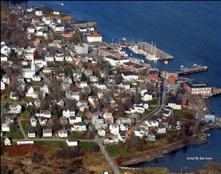
Downtown Eastport
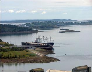
A container ship tied to the pier at Estes Head, on the south end of Eastport.
Deep Cove, out by the Boat School
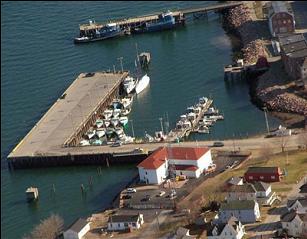

Tug boats at the Fish Pier with the breakwater and boat basin in the foreground
The eagles pose for pictures
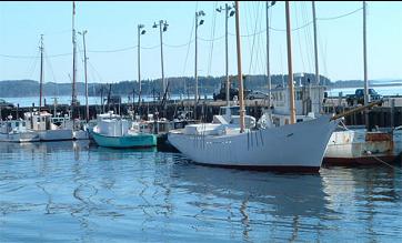
Boat building is alive and well in Eastport. The white schooner was built in Eastport a few years ago.
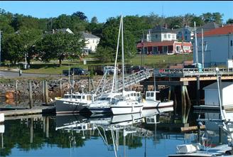
Eastport has a "working waterfront," but there's always room for pleasure boatin'.
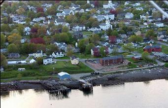
The brown building on the water is the motel. The red brick building on the right is the library, up the hill is the Congregational church.
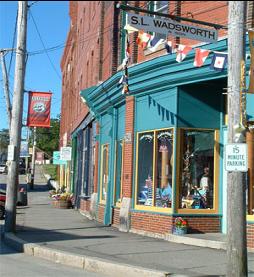
Water Street and SL Wadsworth's, the oldest ship's chandlery in the country.
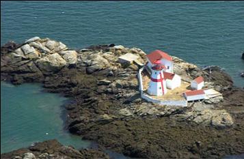
East Quoddy Head lighthouse on Campobello Island. A great day trip.
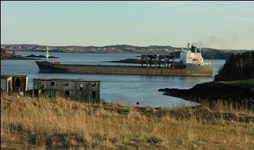
Fully loaded with paper products, a container ship leaves Eastport.